Flats at Newburn
Introduction
The photograph on this page of Flats at Newburn by Kevin Hall as part of the Geograph project.
The Geograph project started in 2005 with the aim of publishing, organising and preserving representative images for every square kilometre of Great Britain, Ireland and the Isle of Man.

There are currently over 7.5m images from over 14,400 individuals and you can help contribute to the project by visiting https://www.geograph.org.uk
Flats at Newburn
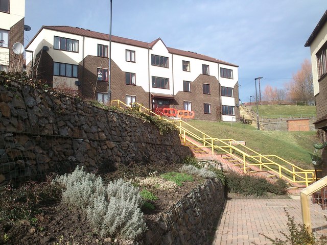
Image: © Kevin Hall Taken: 25 Feb 2012
Council-owned flats at Newburn showing landscaping and renovation work done to footpaths and stairs during 2011.
Images are licensed for reuse under creativecommons.org/licenses/by-sa/2.0
Image Location
Latitude
54.982921
Longitude
-1.739335