End of the line
Introduction
The photograph on this page of End of the line by Peter Whatley as part of the Geograph project.
The Geograph project started in 2005 with the aim of publishing, organising and preserving representative images for every square kilometre of Great Britain, Ireland and the Isle of Man.

There are currently over 7.5m images from over 14,400 individuals and you can help contribute to the project by visiting https://www.geograph.org.uk
End of the line
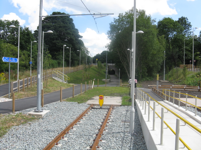
Image: © Peter Whatley Taken: 24 Jul 2013
The last few metres of Metrolink's East Didsbury route, looking toward Parrs Wood Lane/ Didsbury Road.
Images are licensed for reuse under creativecommons.org/licenses/by-sa/2.0
Image Location
Latitude
53.411476
Longitude
-2.215388