Coughton Place, Coughton
Introduction
The photograph on this page of Coughton Place, Coughton by Jaggery as part of the Geograph project.
The Geograph project started in 2005 with the aim of publishing, organising and preserving representative images for every square kilometre of Great Britain, Ireland and the Isle of Man.

There are currently over 7.5m images from over 14,400 individuals and you can help contribute to the project by visiting https://www.geograph.org.uk
Coughton Place, Coughton
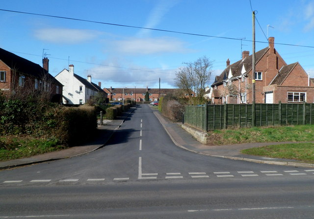
Image: © Jaggery Taken: 24 Feb 2012
Coughton Place is a cul-de-sac connecting with the B4234 in south Herefordshire.
Images are licensed for reuse under creativecommons.org/licenses/by-sa/2.0
Image Location


Leaflet Map data © OpenStreetMap
Latitude
51.890296
Longitude
-2.591351