Houses in Gullion Way
Introduction
The photograph on this page of Houses in Gullion Way by Eric Jones as part of the Geograph project.
The Geograph project started in 2005 with the aim of publishing, organising and preserving representative images for every square kilometre of Great Britain, Ireland and the Isle of Man.

There are currently over 7.5m images from over 14,400 individuals and you can help contribute to the project by visiting https://www.geograph.org.uk
Houses in Gullion Way
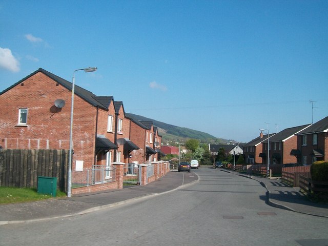
Image: © Eric Jones Taken: 16 May 2013
The houses on the left are a recent addition. Those on the right were here when Google Street view passed-by in 2009.
Images are licensed for reuse under creativecommons.org/licenses/by-sa/2.0
Image Location
Latitude
54.120725
Longitude
-6.393813