The Old Customs House, Grimsby
Introduction
The photograph on this page of The Old Customs House, Grimsby by David Wright as part of the Geograph project.
The Geograph project started in 2005 with the aim of publishing, organising and preserving representative images for every square kilometre of Great Britain, Ireland and the Isle of Man.

There are currently over 7.5m images from over 14,400 individuals and you can help contribute to the project by visiting https://www.geograph.org.uk
The Old Customs House, Grimsby
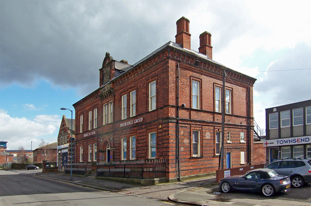
Image: © David Wright Taken: 7 Mar 2007
Situated on the South side of Cleethorpes Road and overshadowed by the flyover carrying the A180 the Customs House was built in 1874.
Images are licensed for reuse under creativecommons.org/licenses/by-sa/2.0
Image Location
Latitude
53.574461
Longitude
-0.077121