Lodge Street Ramsbottom
Introduction
The photograph on this page of Lodge Street Ramsbottom by Paul Anderson as part of the Geograph project.
The Geograph project started in 2005 with the aim of publishing, organising and preserving representative images for every square kilometre of Great Britain, Ireland and the Isle of Man.

There are currently over 7.5m images from over 14,400 individuals and you can help contribute to the project by visiting https://www.geograph.org.uk
Lodge Street Ramsbottom
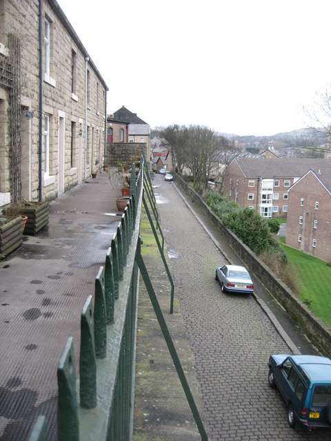
Image: © Paul Anderson Taken: 5 Mar 2007
The row of houses on the left are on Verna Street which is situated in an elevated position above the cobbled Lodge Street below. For more on the history of Ramsbottom click on http://web.archive.org/web/20051218151821/http://www.ramsbottom.net/history.htm
Images are licensed for reuse under creativecommons.org/licenses/by-sa/2.0
Image Location
Latitude
53.646023
Longitude
-2.318238