The former Co-operative Hall, Hollinwood
Introduction
The photograph on this page of The former Co-operative Hall, Hollinwood by Bill Boaden as part of the Geograph project.
The Geograph project started in 2005 with the aim of publishing, organising and preserving representative images for every square kilometre of Great Britain, Ireland and the Isle of Man.

There are currently over 7.5m images from over 14,400 individuals and you can help contribute to the project by visiting https://www.geograph.org.uk
The former Co-operative Hall, Hollinwood
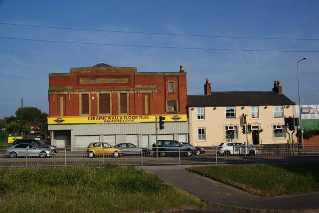
Image: © Bill Boaden Taken: 16 Jul 2013
It is next door to the Spinners Arms which is still operating. The foreground has been cleared of the original buildings which lined Manchester Road.
Images are licensed for reuse under creativecommons.org/licenses/by-sa/2.0
Image Location
Latitude
53.522504
Longitude
-2.141592