Public Footpath
Introduction
The photograph on this page of Public Footpath by mike smith as part of the Geograph project.
The Geograph project started in 2005 with the aim of publishing, organising and preserving representative images for every square kilometre of Great Britain, Ireland and the Isle of Man.

There are currently over 7.5m images from over 14,400 individuals and you can help contribute to the project by visiting https://www.geograph.org.uk
Public Footpath
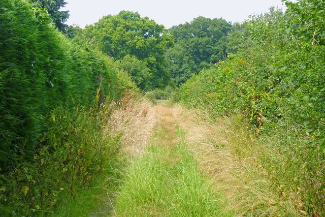
Image: © mike smith Taken: 23 Jul 2013
As can be seen, this footpath, which skirts Martin's Copse, is somewhat overgrown, but passable.
Images are licensed for reuse under creativecommons.org/licenses/by-sa/2.0
Image Location
Latitude
50.79057
Longitude
-1.749689