Mill House
Introduction
The photograph on this page of Mill House by Robin Webster as part of the Geograph project.
The Geograph project started in 2005 with the aim of publishing, organising and preserving representative images for every square kilometre of Great Britain, Ireland and the Isle of Man.

There are currently over 7.5m images from over 14,400 individuals and you can help contribute to the project by visiting https://www.geograph.org.uk
Mill House
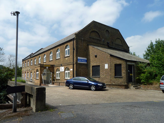
Image: © Robin Webster Taken: 21 Jul 2013
Now occupied by the NHS, this started out as Upper Colham Mill, milling flour. The mill stream passes under the road in the foreground, one parapet of the bridge is seen on the left.
Images are licensed for reuse under creativecommons.org/licenses/by-sa/2.0
Image Location
Latitude
51.543992
Longitude
-0.489124