Queens Road, Nuneaton
Introduction
The photograph on this page of Queens Road, Nuneaton by Stephen McKay as part of the Geograph project.
The Geograph project started in 2005 with the aim of publishing, organising and preserving representative images for every square kilometre of Great Britain, Ireland and the Isle of Man.

There are currently over 7.5m images from over 14,400 individuals and you can help contribute to the project by visiting https://www.geograph.org.uk
Queens Road, Nuneaton
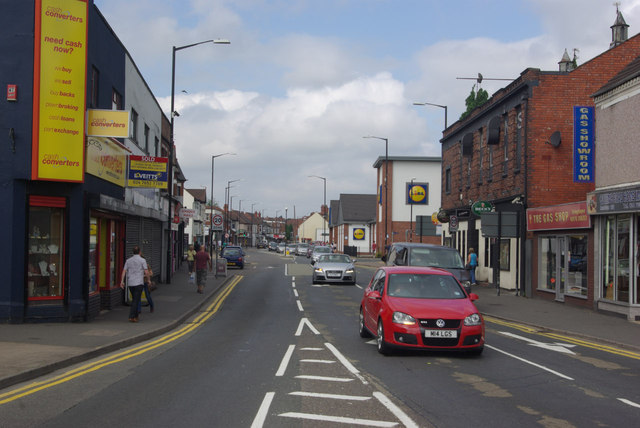
Image: © Stephen McKay Taken: 20 Jul 2013
Looking away from the junction with Roanne Ringway along the B4102 towards Stockingford.
Images are licensed for reuse under creativecommons.org/licenses/by-sa/2.0
Image Location
Latitude
52.522365
Longitude
-1.473209