Ebblake, path
Introduction
The photograph on this page of Ebblake, path by Mike Faherty as part of the Geograph project.
The Geograph project started in 2005 with the aim of publishing, organising and preserving representative images for every square kilometre of Great Britain, Ireland and the Isle of Man.

There are currently over 7.5m images from over 14,400 individuals and you can help contribute to the project by visiting https://www.geograph.org.uk
Ebblake, path
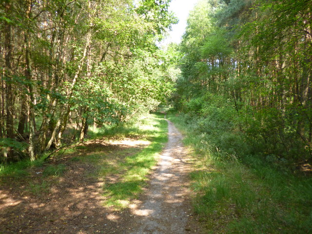
Image: © Mike Faherty Taken: 21 Jul 2013
Leading to Ringwood Forest from Ringwood Road. The ditch to the left forms the Dorset/Hants boundary (Hants on this side).
Images are licensed for reuse under creativecommons.org/licenses/by-sa/2.0
Image Location
Latitude
50.871762
Longitude
-1.848168