Greystoc House
Introduction
The photograph on this page of Greystoc House by Andrew H as part of the Geograph project.
The Geograph project started in 2005 with the aim of publishing, organising and preserving representative images for every square kilometre of Great Britain, Ireland and the Isle of Man.

There are currently over 7.5m images from over 14,400 individuals and you can help contribute to the project by visiting https://www.geograph.org.uk
Greystoc House
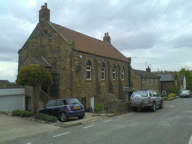
Image: © Andrew H Taken: 5 May 2012
Converted from a church to a house, in the 1960's, by a family member. The back garden is / was the graveyard.
Images are licensed for reuse under creativecommons.org/licenses/by-sa/2.0
Image Location
Latitude
53.291541
Longitude
-1.405593