Dinedor Hill
Introduction
The photograph on this page of Dinedor Hill by Keith Edkins as part of the Geograph project.
The Geograph project started in 2005 with the aim of publishing, organising and preserving representative images for every square kilometre of Great Britain, Ireland and the Isle of Man.

There are currently over 7.5m images from over 14,400 individuals and you can help contribute to the project by visiting https://www.geograph.org.uk
Dinedor Hill
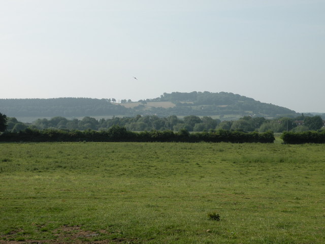
Image: © Keith Edkins Taken: 14 Jul 2013
Leading up to the Iron Age fort of Dinedor Camp at the right hand end. View from the end of Green Street at the edge of the built-up area of Hereford.
Images are licensed for reuse under creativecommons.org/licenses/by-sa/2.0
Image Location
Latitude
52.022783
Longitude
-2.697009