OS Flush Bracket 2490 - Merry Hill
Introduction
The photograph on this page of OS Flush Bracket 2490 - Merry Hill by Richard Law as part of the Geograph project.
The Geograph project started in 2005 with the aim of publishing, organising and preserving representative images for every square kilometre of Great Britain, Ireland and the Isle of Man.

There are currently over 7.5m images from over 14,400 individuals and you can help contribute to the project by visiting https://www.geograph.org.uk
OS Flush Bracket 2490 - Merry Hill
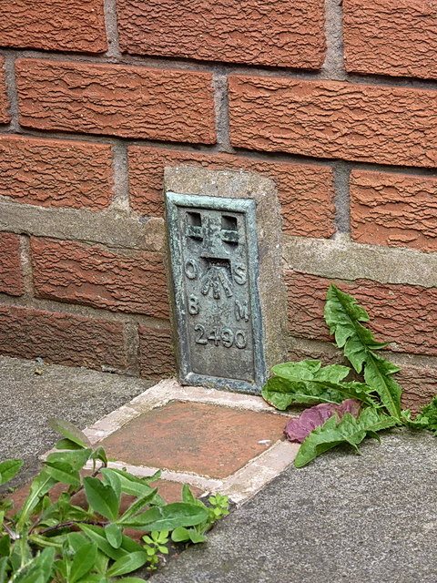
Image: © Richard Law Taken: 20 Jul 2013
FB 2490, which originally was affixed to Merry Hill Farm on this site. That building was demolished, but the owner had the wisdom and decency to preserve the FB and have it built into his replacement house.
Images are licensed for reuse under creativecommons.org/licenses/by-sa/2.0
Image Location


Leaflet Map data © OpenStreetMap
Latitude
52.713489
Longitude
-2.316689