Glasterlaw station (site/remains), 1997
Introduction
The photograph on this page of Glasterlaw station (site/remains), 1997 by Ben Brooksbank as part of the Geograph project.
The Geograph project started in 2005 with the aim of publishing, organising and preserving representative images for every square kilometre of Great Britain, Ireland and the Isle of Man.

There are currently over 7.5m images from over 14,400 individuals and you can help contribute to the project by visiting https://www.geograph.org.uk
Glasterlaw station (site/remains), 1997
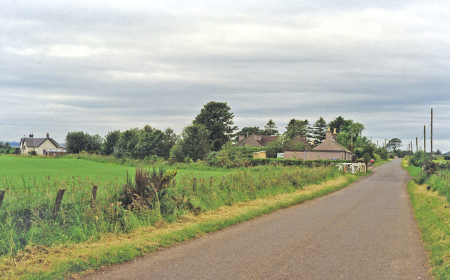
Image: © Ben Brooksbank Taken: 5 Jul 1997
View SW, approaching a former level-crossing over the ex-Caledonian Railway main line, Perth - Forfar (to left)- (to right) Kinnaber Junction (- Aberdeen), which was closed 4/3/67. Glasterlaw station - over on the left - had been closed to passengers 2/4/51, to goods 11/6/56.
Images are licensed for reuse under creativecommons.org/licenses/by-sa/2.0
Image Location
Latitude
56.65059
Longitude
-2.658684