Wheat field, between Beeby and South Croxton, Leicestershire
Introduction
The photograph on this page of Wheat field, between Beeby and South Croxton, Leicestershire by Kate Jewell as part of the Geograph project.
The Geograph project started in 2005 with the aim of publishing, organising and preserving representative images for every square kilometre of Great Britain, Ireland and the Isle of Man.

There are currently over 7.5m images from over 14,400 individuals and you can help contribute to the project by visiting https://www.geograph.org.uk
Wheat field, between Beeby and South Croxton, Leicestershire
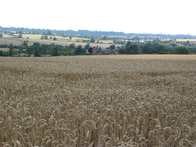
Image: © Kate Jewell Taken: 9 Aug 2005
Apart from Barkby Holt the farmland in this square is arable. This photograph was taken at SK 678 091. The buildings in the centre are Beeby Grange in the adjacent square.
Images are licensed for reuse under creativecommons.org/licenses/by-sa/2.0
Image Location


Leaflet Map data © OpenStreetMap
Latitude
52.674872
Longitude
-1.003426