Deacons Hill, Elstree
Introduction
The photograph on this page of Deacons Hill, Elstree by Des Blenkinsopp as part of the Geograph project.
The Geograph project started in 2005 with the aim of publishing, organising and preserving representative images for every square kilometre of Great Britain, Ireland and the Isle of Man.

There are currently over 7.5m images from over 14,400 individuals and you can help contribute to the project by visiting https://www.geograph.org.uk
Deacons Hill, Elstree
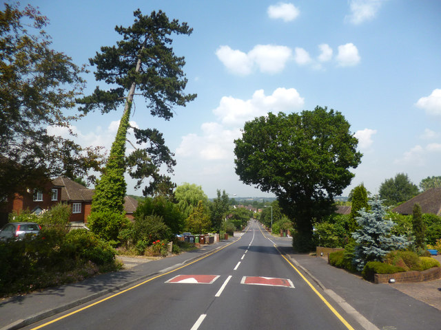
Image: © Des Blenkinsopp Taken: 17 Jul 2013
Sloping up from Elstree towards more open land on Woodcock Hill. This is part of the London Loop path on a 2km roadside section linking footpaths on Borehamwood Golf Course and Scratchwood Nature Reserve.
Images are licensed for reuse under creativecommons.org/licenses/by-sa/2.0
Image Location
Latitude
51.645968
Longitude
-0.28035