Wincolmlee, Kingston upon Hull
Introduction
The photograph on this page of Wincolmlee, Kingston upon Hull by Bernard Sharp as part of the Geograph project.
The Geograph project started in 2005 with the aim of publishing, organising and preserving representative images for every square kilometre of Great Britain, Ireland and the Isle of Man.

There are currently over 7.5m images from over 14,400 individuals and you can help contribute to the project by visiting https://www.geograph.org.uk
Wincolmlee, Kingston upon Hull
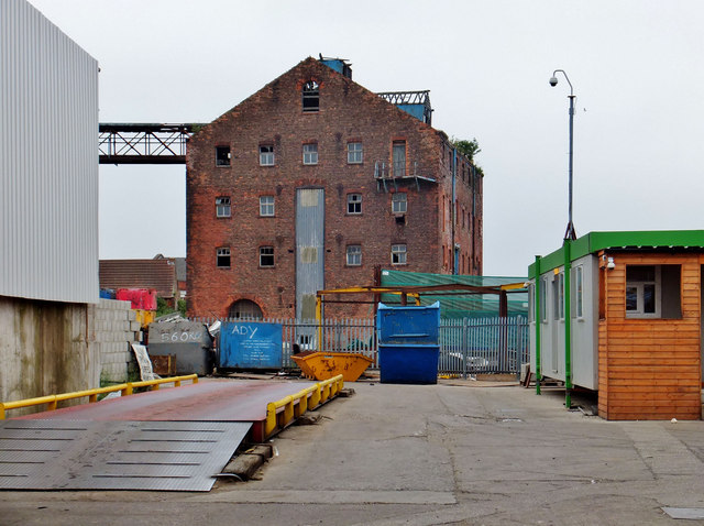
Image: © Bernard Sharp Taken: 14 Jul 2013
Mill building, elevation to the river Hull, rear of Nos.194 & 196 Wincolmlee, circa 1850s, now derelict. Linked to High Flags Mill by an elevated walkway. Viewed from the entrance to Nos.92-96 Lime Street. See also: Image
Images are licensed for reuse under creativecommons.org/licenses/by-sa/2.0
Image Location
Latitude
53.752589
Longitude
-0.332001