Trefechan Bridge, Aberystwyth
Introduction
The photograph on this page of Trefechan Bridge, Aberystwyth by Dylan Moore as part of the Geograph project.
The Geograph project started in 2005 with the aim of publishing, organising and preserving representative images for every square kilometre of Great Britain, Ireland and the Isle of Man.

There are currently over 7.5m images from over 14,400 individuals and you can help contribute to the project by visiting https://www.geograph.org.uk
Trefechan Bridge, Aberystwyth
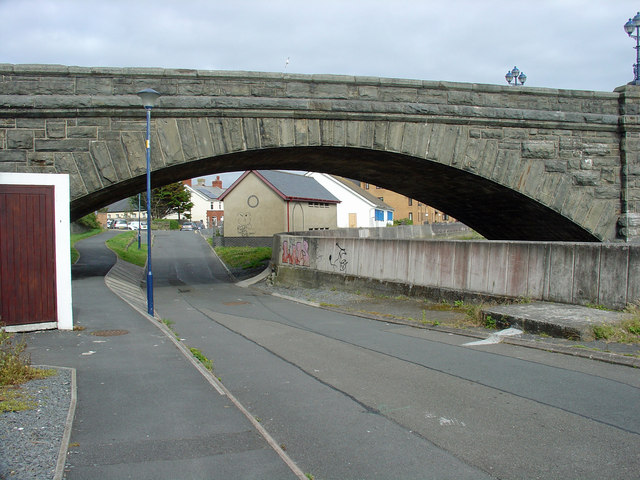
Image: © Dylan Moore Taken: 2 Jul 2013
The northern arch crossed the track of the Vale of Rheidol Railway, which originally ran along the river bank and terminated on the Ro-fawr quay.
Images are licensed for reuse under creativecommons.org/licenses/by-sa/2.0
Image Location
Latitude
52.411764
Longitude
-4.085212