Northern boundary of Goldcliff
Introduction
The photograph on this page of Northern boundary of Goldcliff by Jaggery as part of the Geograph project.
The Geograph project started in 2005 with the aim of publishing, organising and preserving representative images for every square kilometre of Great Britain, Ireland and the Isle of Man.

There are currently over 7.5m images from over 14,400 individuals and you can help contribute to the project by visiting https://www.geograph.org.uk
Northern boundary of Goldcliff
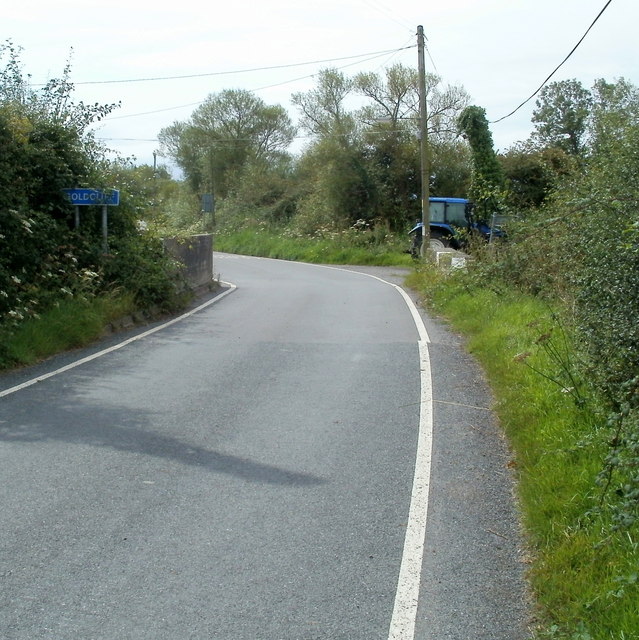
Image: © Jaggery Taken: 12 Aug 2011
The road from Whitson reaches the white-on-blue boundary sign for Goldcliff. The sign is at the edge of the bridge over Monk's Ditch, a major reen, one of many channels draining the flat, low-lying land of the Caldicot Level. The Whitson boundary sign http://www.geograph.org.uk/photo/3562711 is at the other end of the bridge.
Images are licensed for reuse under creativecommons.org/licenses/by-sa/2.0
Image Location
Latitude
51.545317
Longitude
-2.900085