Former chapel at Spendiff
Introduction
The photograph on this page of Former chapel at Spendiff by Stefan Czapski as part of the Geograph project.
The Geograph project started in 2005 with the aim of publishing, organising and preserving representative images for every square kilometre of Great Britain, Ireland and the Isle of Man.

There are currently over 7.5m images from over 14,400 individuals and you can help contribute to the project by visiting https://www.geograph.org.uk
Former chapel at Spendiff
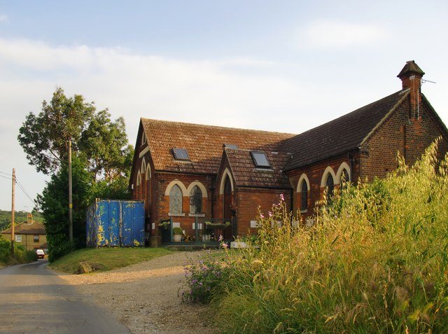
Image: © Stefan Czapski Taken: 13 Jul 2013
Spendiff is a tiny hamlet, and really quite remote, so it is perhaps no surprise that the chapel here was deemed redundant and has become a private residence. I knew the building back in the days when it was still a place of worship - and have always been intrigued by the large number of foundation stones. Some of the family names represented are still familiar in the local farming community.
Images are licensed for reuse under creativecommons.org/licenses/by-sa/2.0
Image Location
Latitude
51.442973
Longitude
0.517733