Moor Lane
Introduction
The photograph on this page of Moor Lane by Alan Hunt as part of the Geograph project.
The Geograph project started in 2005 with the aim of publishing, organising and preserving representative images for every square kilometre of Great Britain, Ireland and the Isle of Man.

There are currently over 7.5m images from over 14,400 individuals and you can help contribute to the project by visiting https://www.geograph.org.uk
Moor Lane
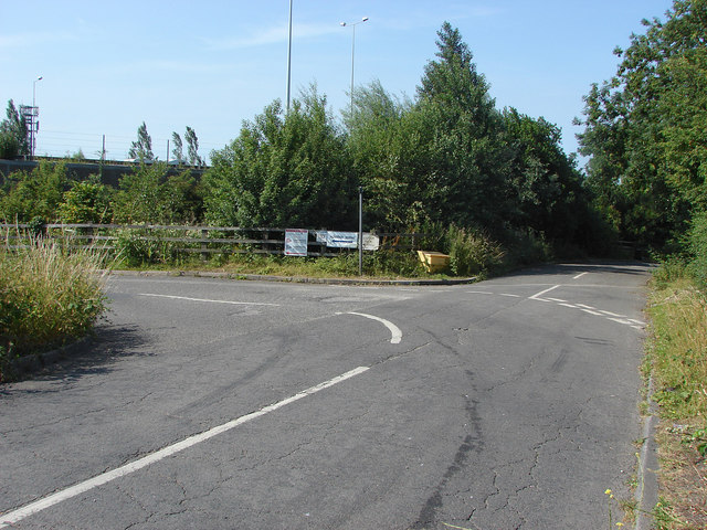
Image: © Alan Hunt Taken: 11 Jul 2013
The sharp bend in Moor Lane where the road loops around under the M25. The road is blocked atraight on but there is a path that runs along the M25 to junction 14.
Images are licensed for reuse under creativecommons.org/licenses/by-sa/2.0
Image Location
Latitude
51.447253
Longitude
-0.525706