Moor Lane, Staines
Introduction
The photograph on this page of Moor Lane, Staines by Alan Hunt as part of the Geograph project.
The Geograph project started in 2005 with the aim of publishing, organising and preserving representative images for every square kilometre of Great Britain, Ireland and the Isle of Man.

There are currently over 7.5m images from over 14,400 individuals and you can help contribute to the project by visiting https://www.geograph.org.uk
Moor Lane, Staines
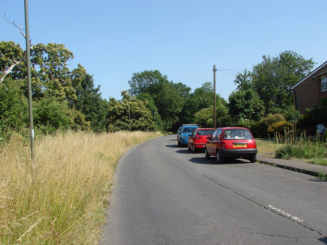
Image: © Alan Hunt Taken: 11 Jul 2013
Looking east along Moor Lane. This access road runs from Staines out towards the M25 and serves some semi-rural houses and a private fishing lake.
Images are licensed for reuse under creativecommons.org/licenses/by-sa/2.0
Image Location
Latitude
51.444722
Longitude
-0.524636