The old Shifnal Road
Introduction
The photograph on this page of The old Shifnal Road by Richard Law as part of the Geograph project.
The Geograph project started in 2005 with the aim of publishing, organising and preserving representative images for every square kilometre of Great Britain, Ireland and the Isle of Man.

There are currently over 7.5m images from over 14,400 individuals and you can help contribute to the project by visiting https://www.geograph.org.uk
The old Shifnal Road
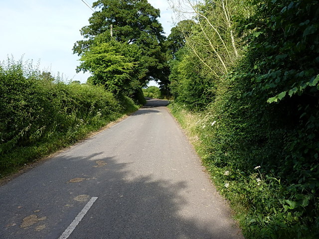
Image: © Richard Law Taken: 14 Jul 2013
This short stretch of the old A4169 was isolated from the fast traffic when the road was realigned a few yards to the north in the 1970s. It now gives access to a number of cottages and barn conversions at The Hem, and provides a means of access to the Shifnal sewage works, Field Lane and Kemberton.
Images are licensed for reuse under creativecommons.org/licenses/by-sa/2.0
Image Location
Latitude
52.650967
Longitude
-2.399501