
Hoghton Tower Outer Wall
Introduction
The photograph on this page of Hoghton Tower Outer Wall by Rude Health as part of the Geograph project.
The Geograph project started in 2005 with the aim of publishing, organising and preserving representative images for every square kilometre of Great Britain, Ireland and the Isle of Man.

There are currently over 7.5m images from over 14,400 individuals and you can help contribute to the project by visiting https://www.geograph.org.uk
Hoghton Tower Outer Wall
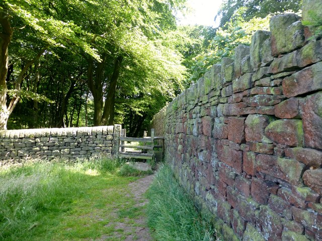
Image: © Rude Health Taken: 14 Jul 2013
Parked near the ruined chapel over the railway bridge then through the woods and around to the front approach to Hoghton Tower and a good explore around what is not private property. It was the Motorcycle Sprint Event today. An eighth of a mile in around 7 seconds. Will book a Hoghton Tower tour on a rainy day. Name: Hoghton Tower Hill number: 108813 Height: 179m / 587ft Area: 36: Lancashire, Cheshire & the Southern Pennines Class: 1 Grid ref: SD623264 (est) Drop: 69m Col: 110m
Images are licensed for reuse under creativecommons.org/licenses/by-sa/2.0
Image Location

Latitude
53.734588
Longitude
-2.574944