Triangulation Pillar (S2001)
Introduction
The photograph on this page of Triangulation Pillar (S2001) by Adrian Dust as part of the Geograph project.
The Geograph project started in 2005 with the aim of publishing, organising and preserving representative images for every square kilometre of Great Britain, Ireland and the Isle of Man.

There are currently over 7.5m images from over 14,400 individuals and you can help contribute to the project by visiting https://www.geograph.org.uk
Triangulation Pillar (S2001)
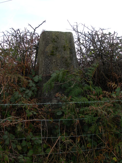
Image: © Adrian Dust Taken: 18 Oct 2007
Greynor Triangulation Pillar carries Flush Bracket S2001 which marks a point 151.970m above mean sea level.
Images are licensed for reuse under creativecommons.org/licenses/by-sa/2.0
Image Location
Latitude
51.762998
Longitude
-4.04745