Disused sliproad
Introduction
The photograph on this page of Disused sliproad by James Allan as part of the Geograph project.
The Geograph project started in 2005 with the aim of publishing, organising and preserving representative images for every square kilometre of Great Britain, Ireland and the Isle of Man.

There are currently over 7.5m images from over 14,400 individuals and you can help contribute to the project by visiting https://www.geograph.org.uk
Disused sliproad
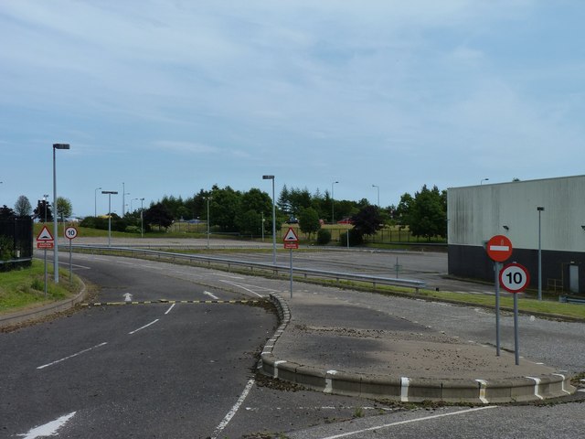
Image: © James Allan Taken: 12 Jul 2013
Now fenced off, this was once a road into and out of the Dryburgh Industrial Estete.
Images are licensed for reuse under creativecommons.org/licenses/by-sa/2.0
Image Location
Latitude
56.48262
Longitude
-3.002918