Dual entrance
Introduction
The photograph on this page of Dual entrance by Jonathan Billinger as part of the Geograph project.
The Geograph project started in 2005 with the aim of publishing, organising and preserving representative images for every square kilometre of Great Britain, Ireland and the Isle of Man.

There are currently over 7.5m images from over 14,400 individuals and you can help contribute to the project by visiting https://www.geograph.org.uk
Dual entrance
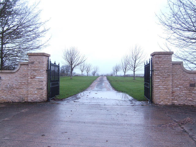
Image: © Jonathan Billinger Taken: 28 Feb 2007
This imposing stone gateway stands by the B4019 at the joint entrances of Upper Burytown Farm and Castle Hill Court.
Images are licensed for reuse under creativecommons.org/licenses/by-sa/2.0
Image Location
Latitude
51.615433
Longitude
-1.765403