Future Rochester railway station position?
Introduction
The photograph on this page of Future Rochester railway station position? by David Anstiss as part of the Geograph project.
The Geograph project started in 2005 with the aim of publishing, organising and preserving representative images for every square kilometre of Great Britain, Ireland and the Isle of Man.

There are currently over 7.5m images from over 14,400 individuals and you can help contribute to the project by visiting https://www.geograph.org.uk
Future Rochester railway station position?
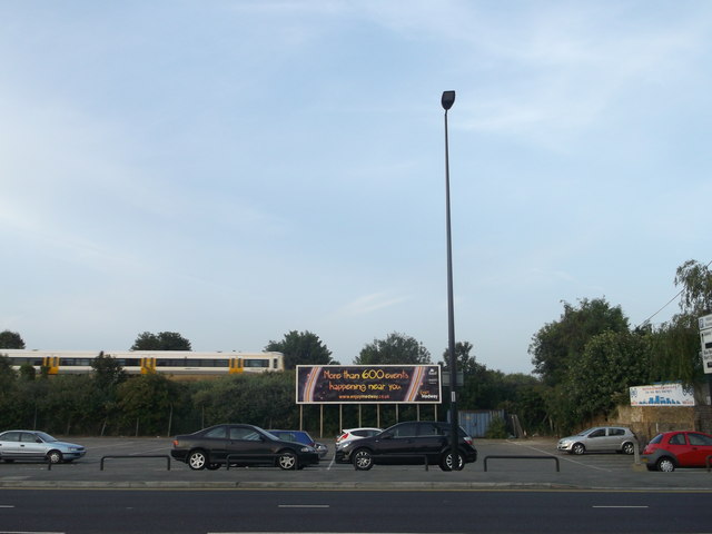
Image: © David Anstiss Taken: 12 Jul 2013
Medway Council has approved Network Rail plans for a new £26 million re-located railway station in Rochester. The new station has been designed to be able to accommodate longer trains than the current station, helping boost capacity and providing more seats for passengers. An integrated transport hub will provide better links to other types of public transport. Several spaces of Corporation Road car-park will be lost, but a new subway will lead under the railway to Rochester Riverside (a huge housing and development site beside the River Medway). Which also includes a new station car park. The new station is due to be completed in winter 2015 The old station is (Image), is about 600 yards right of here.
Images are licensed for reuse under creativecommons.org/licenses/by-sa/2.0
Image Location
Latitude
51.389608
Longitude
0.506752