Cowiefauld
Introduction
The photograph on this page of Cowiefauld by Alfred Fyfe as part of the Geograph project.
The Geograph project started in 2005 with the aim of publishing, organising and preserving representative images for every square kilometre of Great Britain, Ireland and the Isle of Man.

There are currently over 7.5m images from over 14,400 individuals and you can help contribute to the project by visiting https://www.geograph.org.uk
Cowiefauld
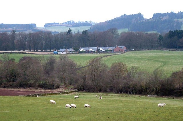
Image: © Alfred Fyfe Taken: 4 Mar 2007
Cowiefauld a group of houses on the south side of the A91 just outside Gateside. The course of the River Eden and a disused railway line is hidden in the nearest line of trees.
Images are licensed for reuse under creativecommons.org/licenses/by-sa/2.0
Image Location
Latitude
56.27228
Longitude
-3.302933