Slow at the northern approach to Rockfield
Introduction
The photograph on this page of Slow at the northern approach to Rockfield by Jaggery as part of the Geograph project.
The Geograph project started in 2005 with the aim of publishing, organising and preserving representative images for every square kilometre of Great Britain, Ireland and the Isle of Man.

There are currently over 7.5m images from over 14,400 individuals and you can help contribute to the project by visiting https://www.geograph.org.uk
Slow at the northern approach to Rockfield
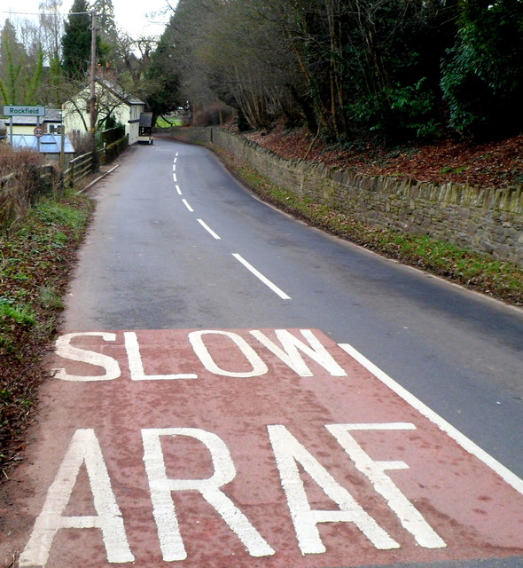
Image: © Jaggery Taken: 22 Jan 2012
The bilingual message (in English and Welsh) is on the surface of the B4347 in NE Monmouthshire. Ahead, at the left edge of the view, is a small sign showing Rockfield. From 2004-2011 there was a bigger sign here, showing ROCKFIELD and LLANORONWY. See http://www.geograph.org.uk/photo/3551542 for the reason the larger sign was replaced.
Images are licensed for reuse under creativecommons.org/licenses/by-sa/2.0
Image Location
Latitude
51.831197
Longitude
-2.753399