Tregajorran
Introduction
The photograph on this page of Tregajorran by Tony Atkin as part of the Geograph project.
The Geograph project started in 2005 with the aim of publishing, organising and preserving representative images for every square kilometre of Great Britain, Ireland and the Isle of Man.

There are currently over 7.5m images from over 14,400 individuals and you can help contribute to the project by visiting https://www.geograph.org.uk
Tregajorran
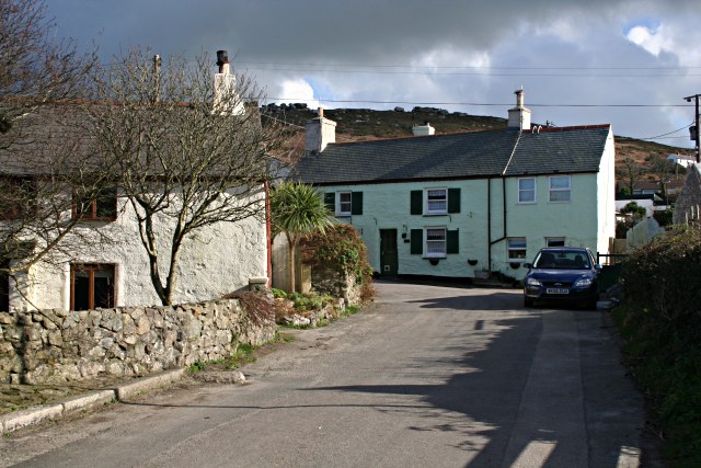
Image: © Tony Atkin Taken: 3 Mar 2007
This is a hamlet between Pool and Carn Brea hill, which can be seen rising behind the houses.
Images are licensed for reuse under creativecommons.org/licenses/by-sa/2.0
Image Location
Latitude
50.220426
Longitude
-5.263467