Up the Creek
Introduction
The photograph on this page of Up the Creek by David Wright as part of the Geograph project.
The Geograph project started in 2005 with the aim of publishing, organising and preserving representative images for every square kilometre of Great Britain, Ireland and the Isle of Man.

There are currently over 7.5m images from over 14,400 individuals and you can help contribute to the project by visiting https://www.geograph.org.uk
Up the Creek
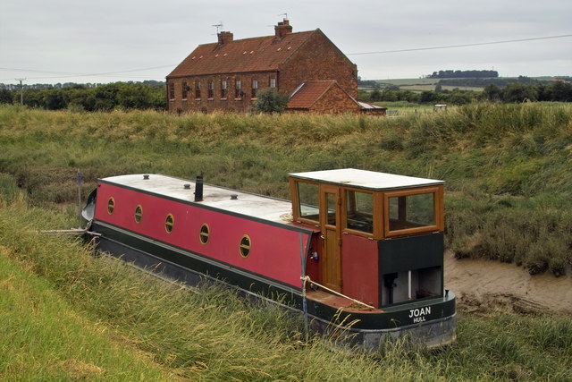
Image: © David Wright Taken: 10 Jul 2013
Narrow boat "Joan" has managed to pass under the railway bridge and found a mooring some way up the beck.
Images are licensed for reuse under creativecommons.org/licenses/by-sa/2.0
Image Location
Latitude
53.695718
Longitude
-0.393474