Dryhill Lane
Introduction
The photograph on this page of Dryhill Lane by Marathon as part of the Geograph project.
The Geograph project started in 2005 with the aim of publishing, organising and preserving representative images for every square kilometre of Great Britain, Ireland and the Isle of Man.

There are currently over 7.5m images from over 14,400 individuals and you can help contribute to the project by visiting https://www.geograph.org.uk
Dryhill Lane
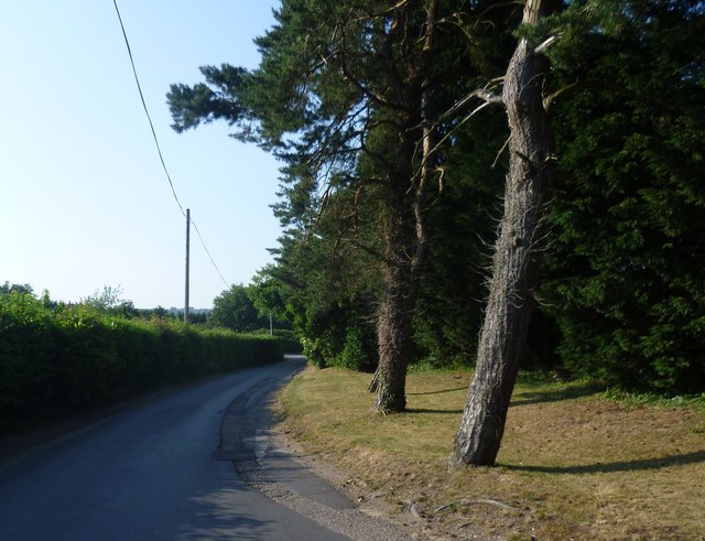
Image: © Marathon Taken: 7 Jul 2013
The junction with the busy A25 is just ahead.
Images are licensed for reuse under creativecommons.org/licenses/by-sa/2.0
Image Location
Latitude
51.280371
Longitude
0.142731