Noon Hill, bridleway
Introduction
The photograph on this page of Noon Hill, bridleway by Mike Faherty as part of the Geograph project.
The Geograph project started in 2005 with the aim of publishing, organising and preserving representative images for every square kilometre of Great Britain, Ireland and the Isle of Man.

There are currently over 7.5m images from over 14,400 individuals and you can help contribute to the project by visiting https://www.geograph.org.uk
Noon Hill, bridleway
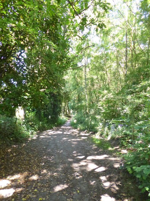
Image: © Mike Faherty Taken: 11 Jul 2013
A continuation of Noon Hill Road, towards Ringwood Forest, at the edge of woodland and suburban properties.
Images are licensed for reuse under creativecommons.org/licenses/by-sa/2.0
Image Location
Latitude
50.879778
Longitude
-1.858803