Totnes Road
Introduction
The photograph on this page of Totnes Road by Derek Harper as part of the Geograph project.
The Geograph project started in 2005 with the aim of publishing, organising and preserving representative images for every square kilometre of Great Britain, Ireland and the Isle of Man.

There are currently over 7.5m images from over 14,400 individuals and you can help contribute to the project by visiting https://www.geograph.org.uk
Totnes Road
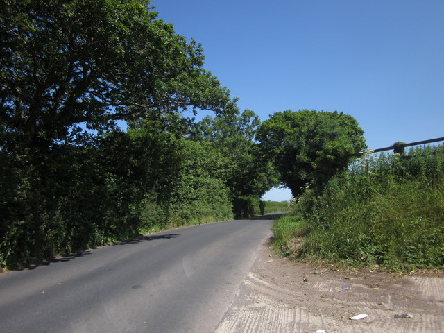
Image: © Derek Harper Taken: 9 Jul 2013
The road passes the track shown in Image], climbing the side of Beacon Hill and approaching an awkward narrow section where you hope you don't meet a bus if you're driving.
Images are licensed for reuse under creativecommons.org/licenses/by-sa/2.0
Image Location
Latitude
50.44738
Longitude
-3.612338