Footpath below Low Farm
Introduction
The photograph on this page of Footpath below Low Farm by Alan Murray-Rust as part of the Geograph project.
The Geograph project started in 2005 with the aim of publishing, organising and preserving representative images for every square kilometre of Great Britain, Ireland and the Isle of Man.

There are currently over 7.5m images from over 14,400 individuals and you can help contribute to the project by visiting https://www.geograph.org.uk
Footpath below Low Farm
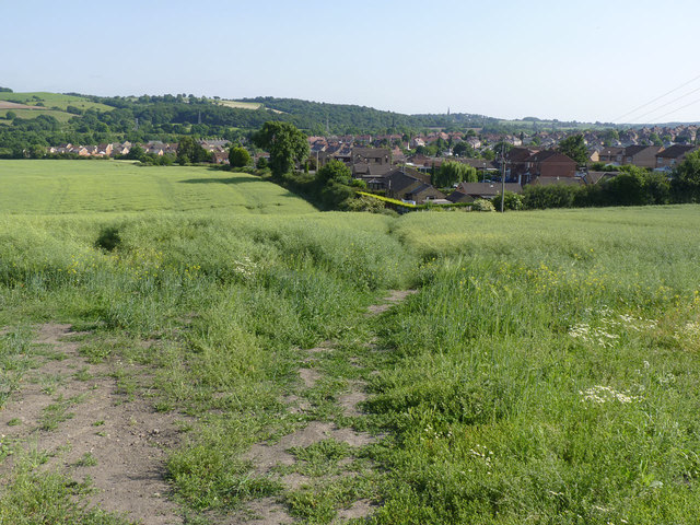
Image: © Alan Murray-Rust Taken: 8 Jul 2013
Compared with its neighbour http://www.geograph.org.uk/photo/3549914 this path appears to be more heavily used and retains a more distinct line through the rape crop.
Images are licensed for reuse under creativecommons.org/licenses/by-sa/2.0
Image Location
Latitude
53.505263
Longitude
-1.417987