Close up of the village sign at Brasted
Introduction
The photograph on this page of Close up of the village sign at Brasted by Marathon as part of the Geograph project.
The Geograph project started in 2005 with the aim of publishing, organising and preserving representative images for every square kilometre of Great Britain, Ireland and the Isle of Man.

There are currently over 7.5m images from over 14,400 individuals and you can help contribute to the project by visiting https://www.geograph.org.uk
Close up of the village sign at Brasted
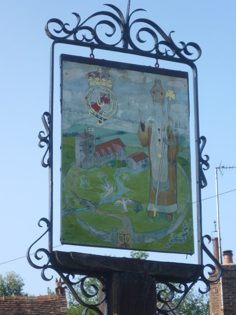
Image: © Marathon Taken: 7 Jul 2013
The River Darent and St Martin's Church both feature prominently in the sign on the village green at Brasted. For the setting see http://www.geograph.org.uk/photo/3549558
Images are licensed for reuse under creativecommons.org/licenses/by-sa/2.0
Image Location
Latitude
51.27681
Longitude
0.111021