
Disused Railway near Park Coppice
Introduction
The photograph on this page of Disused Railway near Park Coppice by Chris Heaton as part of the Geograph project.
The Geograph project started in 2005 with the aim of publishing, organising and preserving representative images for every square kilometre of Great Britain, Ireland and the Isle of Man.

There are currently over 7.5m images from over 14,400 individuals and you can help contribute to the project by visiting https://www.geograph.org.uk
Disused Railway near Park Coppice
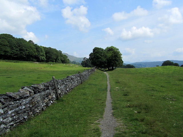
Image: © Chris Heaton Taken: 8 Jul 2013
Now converted into a permissive footpath and cycleway. This is part of the branch line that ran from Coniston to Foxfield near Broughton-in-Furness, running for nearly a hundred years until it finally closed to all traffic in 1962. It was primarily used for the transportation of slate and copper, although there was also a passenger service as well.
Images are licensed for reuse under creativecommons.org/licenses/by-sa/2.0
Image Location

Latitude
54.354122
Longitude
-3.083473