Bedwellty Pits bus shelters
Introduction
The photograph on this page of Bedwellty Pits bus shelters by Jaggery as part of the Geograph project.
The Geograph project started in 2005 with the aim of publishing, organising and preserving representative images for every square kilometre of Great Britain, Ireland and the Isle of Man.

There are currently over 7.5m images from over 14,400 individuals and you can help contribute to the project by visiting https://www.geograph.org.uk
Bedwellty Pits bus shelters
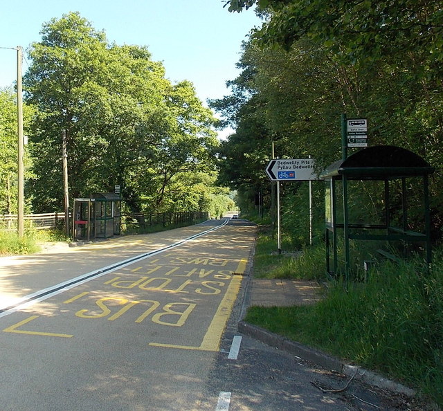
Image: © Jaggery Taken: 6 Jul 2013
Located alongside the A4048, on bus route 56 from Tredegar to Newport (left side) and Newport to Tredegar (right side). A sign points left towards houses in Bedwellty Pits, and National Cycle Network route 46.
Images are licensed for reuse under creativecommons.org/licenses/by-sa/2.0
Image Location
Latitude
51.746042
Longitude
-3.224475