Cassop Grange
Introduction
The photograph on this page of Cassop Grange by Robert Graham as part of the Geograph project.
The Geograph project started in 2005 with the aim of publishing, organising and preserving representative images for every square kilometre of Great Britain, Ireland and the Isle of Man.

There are currently over 7.5m images from over 14,400 individuals and you can help contribute to the project by visiting https://www.geograph.org.uk
Cassop Grange
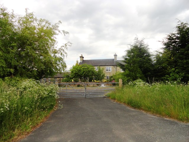
Image: © Robert Graham Taken: 19 Jun 2013
This large farmhouse lies on the eastern edge of Bowburn, next to the A1M motorway.
Images are licensed for reuse under creativecommons.org/licenses/by-sa/2.0
Image Location
Latitude
54.743281
Longitude
-1.514398