Moorland edge above Headon Gate
Introduction
The photograph on this page of Moorland edge above Headon Gate by Derek Harper as part of the Geograph project.
The Geograph project started in 2005 with the aim of publishing, organising and preserving representative images for every square kilometre of Great Britain, Ireland and the Isle of Man.

There are currently over 7.5m images from over 14,400 individuals and you can help contribute to the project by visiting https://www.geograph.org.uk
Moorland edge above Headon Gate
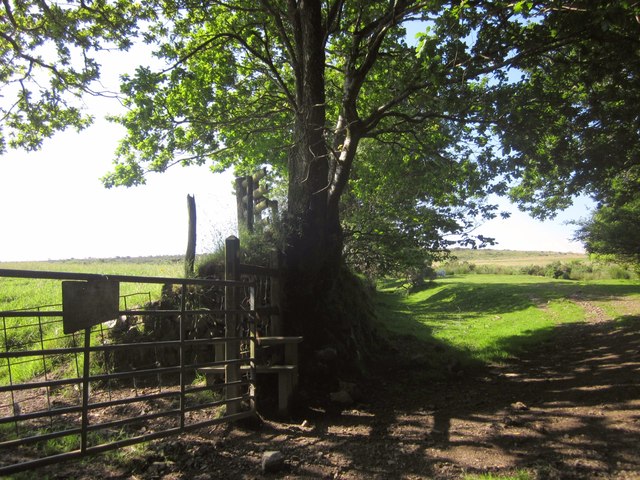
Image: © Derek Harper Taken: 5 Jul 2013
Sparkwell Footpath 18 crosses the stile and heads along fields just below the moor. On the right, a stroll widens from the track followed by the path from Headon Gate, opening onto the moor, its natural extent severely limited by Headon China Clay Works. This is outside the National Park.
Images are licensed for reuse under creativecommons.org/licenses/by-sa/2.0
Image Location


Leaflet Map data © OpenStreetMap
Latitude
50.415866
Longitude
-3.991885