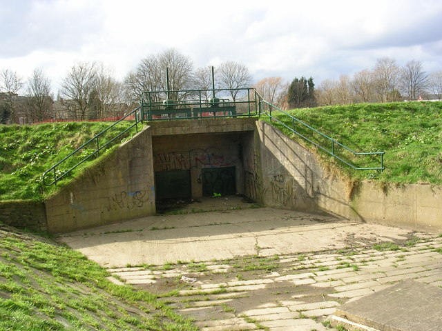
Mersey flood control
Introduction
The photograph on this page of Mersey flood control by Keith Williamson as part of the Geograph project.
The Geograph project started in 2005 with the aim of publishing, organising and preserving representative images for every square kilometre of Great Britain, Ireland and the Isle of Man.
There are currently over 7.5m images from over 14,400 individuals and you can help contribute to the project by visiting https://www.geograph.org.uk

Image: © Keith Williamson Taken: 2 Mar 2007
In the Didsbury/Northenden area high levees have been constructed to contain the River Mersey and prevent flooding. At times, however, it becomes necessary to flood designated areas hereabouts to stop the river over topping its banks or to control flooding further downstream. These sluice gates (and another set further upstream at Didsbury) control the water flow into and out of the flooded land at these times. ( See also Image)

