Cycle route south of Peacehaven, Tredegar
Introduction
The photograph on this page of Cycle route south of Peacehaven, Tredegar by Jaggery as part of the Geograph project.
The Geograph project started in 2005 with the aim of publishing, organising and preserving representative images for every square kilometre of Great Britain, Ireland and the Isle of Man.

There are currently over 7.5m images from over 14,400 individuals and you can help contribute to the project by visiting https://www.geograph.org.uk
Cycle route south of Peacehaven, Tredegar
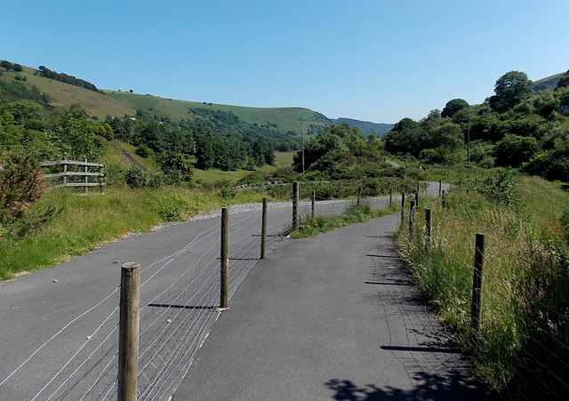
Image: © Jaggery Taken: 6 Jul 2013
The combined cycle route and footpath, centre right between the posts and wire fencing, heads south away from Pochin Crescent. Access to the road on the left is blocked by a locked gate behind the camera at the edge of Pochin Crescent. http://www.geograph.org.uk/photo/3543058
Images are licensed for reuse under creativecommons.org/licenses/by-sa/2.0
Image Location
Latitude
51.757557
Longitude
-3.232466