Track to Northey Island, Maldon
Introduction
The photograph on this page of Track to Northey Island, Maldon by Roger Jones as part of the Geograph project.
The Geograph project started in 2005 with the aim of publishing, organising and preserving representative images for every square kilometre of Great Britain, Ireland and the Isle of Man.

There are currently over 7.5m images from over 14,400 individuals and you can help contribute to the project by visiting https://www.geograph.org.uk
Track to Northey Island, Maldon
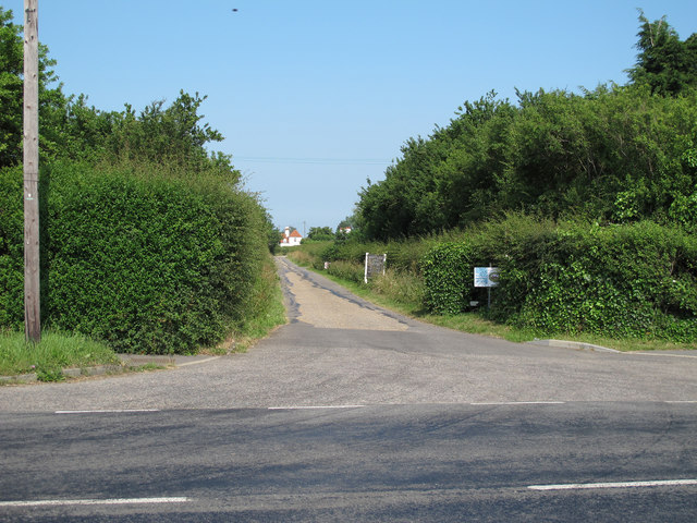
Image: © Roger Jones Taken: 6 Jul 2013
This private road, seen at the junction of Mundon Road, Maldon, is also a public footpath which leads to South House Farm, past the site of the battle of the Battle of Maldon (991), and on to Northey Island which is now a National Trust site.
Images are licensed for reuse under creativecommons.org/licenses/by-sa/2.0
Image Location
Latitude
51.716215
Longitude
0.690988