Redundant Bridge
Introduction
The photograph on this page of Redundant Bridge by Adrian Dust as part of the Geograph project.
The Geograph project started in 2005 with the aim of publishing, organising and preserving representative images for every square kilometre of Great Britain, Ireland and the Isle of Man.

There are currently over 7.5m images from over 14,400 individuals and you can help contribute to the project by visiting https://www.geograph.org.uk
Redundant Bridge
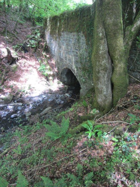
Image: © Adrian Dust Taken: 2 Jun 2013
This Bridge carried the B4300 until the road was straightened and widened at this point. The road now runs by to the north. Now overgrown and lost in the trees.
Images are licensed for reuse under creativecommons.org/licenses/by-sa/2.0
Image Location
Latitude
51.858158
Longitude
-4.186102