Wendover Arm plaque
Introduction
The photograph on this page of Wendover Arm plaque by Mark Percy as part of the Geograph project.
The Geograph project started in 2005 with the aim of publishing, organising and preserving representative images for every square kilometre of Great Britain, Ireland and the Isle of Man.

There are currently over 7.5m images from over 14,400 individuals and you can help contribute to the project by visiting https://www.geograph.org.uk
Wendover Arm plaque
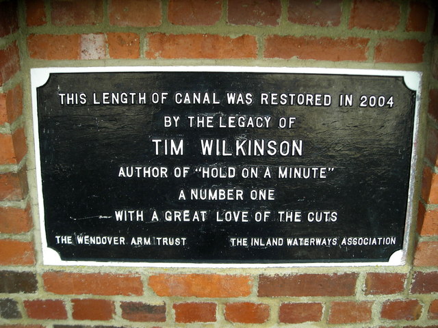
Image: © Mark Percy Taken: 29 Jun 2013
This plaque erected by the Wendover Arm Trust and Inland Waterways Association marks the limit of the 2004 restoration project.
Images are licensed for reuse under creativecommons.org/licenses/by-sa/2.0
Image Location
Latitude
51.807251
Longitude
-0.673399