Lochlea Farm
Introduction
The photograph on this page of Lochlea Farm by Anne Burgess as part of the Geograph project.
The Geograph project started in 2005 with the aim of publishing, organising and preserving representative images for every square kilometre of Great Britain, Ireland and the Isle of Man.

There are currently over 7.5m images from over 14,400 individuals and you can help contribute to the project by visiting https://www.geograph.org.uk
Lochlea Farm
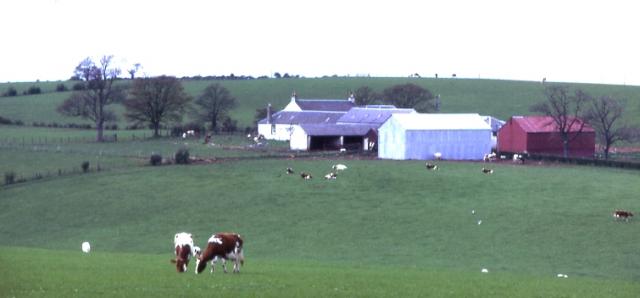
Image: © Anne Burgess Taken: Unknown
On this farm, of which his father was the tenant between 1777 and 1784, the young Robert Burns toiled in the fields.
Images are licensed for reuse under creativecommons.org/licenses/by-sa/2.0
Image Location


Leaflet Map data © OpenStreetMap
Latitude
55.543669
Longitude
-4.450221