Tettenhall, The Rock
Introduction
The photograph on this page of Tettenhall, The Rock by Mike Faherty as part of the Geograph project.
The Geograph project started in 2005 with the aim of publishing, organising and preserving representative images for every square kilometre of Great Britain, Ireland and the Isle of Man.

There are currently over 7.5m images from over 14,400 individuals and you can help contribute to the project by visiting https://www.geograph.org.uk
Tettenhall, The Rock
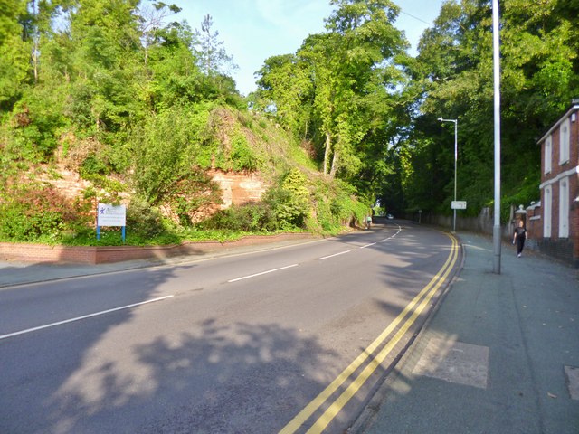
Image: © Mike Faherty Taken: 30 Jun 2013
Cutting through a sandstone ridge on A41. The cutting was built by the Wolverhampton Turnpike Trust in 1823.
Images are licensed for reuse under creativecommons.org/licenses/by-sa/2.0
Image Location
Latitude
52.598757
Longitude
-2.164279