School-keeper's house, Cormont Road
Introduction
The photograph on this page of School-keeper's house, Cormont Road by Robin Stott as part of the Geograph project.
The Geograph project started in 2005 with the aim of publishing, organising and preserving representative images for every square kilometre of Great Britain, Ireland and the Isle of Man.

There are currently over 7.5m images from over 14,400 individuals and you can help contribute to the project by visiting https://www.geograph.org.uk
School-keeper's house, Cormont Road
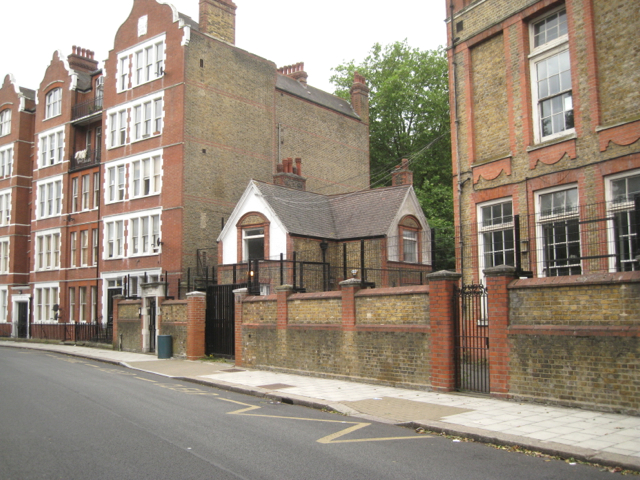
Image: © Robin Stott Taken: 23 Jun 2013
The School-keeper's house is sandwiched between the Charles Edward Brooke school, right, and the Dover House flats, left. See Image
Images are licensed for reuse under creativecommons.org/licenses/by-sa/2.0
Image Location
Latitude
51.473152
Longitude
-0.106289